Marmara Adası
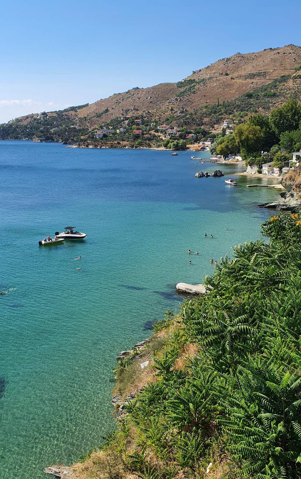
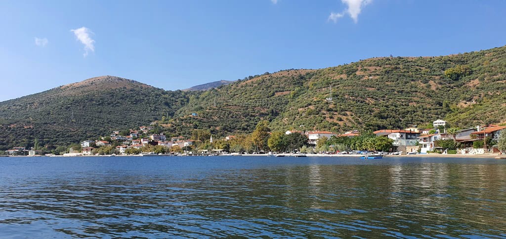
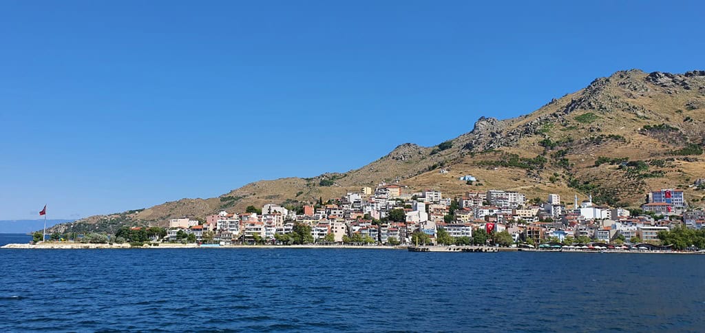
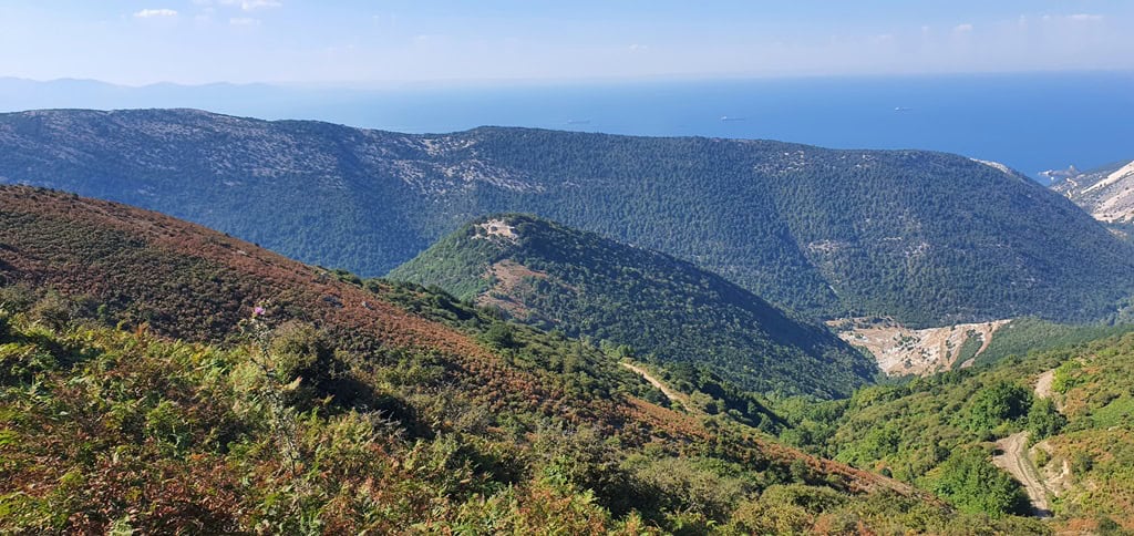
Marmara Island is an island located in the Marmara Sea, between the Black Sea and the Aegean Sea, in Turkey. With an area of 117 km², it is the second largest island in Turkey. It is a mountainous island with Mount Ilyas, reaching an elevation of 699 meters, making it the highest island in Turkey. Marmara Island is considered a district within the Balıkesir province and includes 7 villages, 2 districts, 1 central settlement, totaling a population of 11,454 including Avşa and Ekinlik Islands. Marmara Island alone consists of 5 villages, 1 central settlement, with a population of approximately 7,000. Marmara Island is renowned for its lush greenery, ancient marble quarries, olive oil, sage, thyme, and serene lifestyle. The name “Marmara” Sea originates from the ancient Greek word for marble, referring to the marble quarries on the island.

History of Marmara Island
Are there any organized tours to Marmara Island?
Marmara Island is not a destination where travel agencies organize organized tours. In fact, the island has never been a focal point for mass tourism and is not suitable for it.
Settlements and Villages on Marmara Island
Marmara: The central settlement of the island, Marmara, has a population of approximately 2,200 residents. Despite the population increase during the summer months, it maintains its tranquility. Marmara boasts a hospital, two pharmacies, a post office, a public library, a vocational training center, two beaches (one sandy and one rocky), supermarkets (MIGROS, BİM, ŞOK, A101), a museum, Ziraat Bank, İş Bank ATMs, a discotheque, four taverns, various dining establishments, tea gardens, and tourist accommodation units. The local population consists of immigrants from Crete and indigenous Turks.
Çınarlı: This village, with a population of around 500 in the winter months, is another significant tourist attraction on the island. Çınarlı is known for its centuries-old plane trees and its sandy beach stretching along the village. The village offers various dining options and accommodation units. It is located 7 km from the central settlement and can be reached by minibusses. The majority of the local population originates from Trabzon and Rize.
Gündoğdu: Located 4 km from the central settlement, Gündoğdu is a non-touristic village known for its natural beauty. With a winter population of 150, the village features a serene environment with preserved historic houses, historic fountains, olive groves on the slopes, three tea gardens, a beach, a cafe-bar, an illuminated football field, beach volleyball courts, a market, and a tourist accommodation facility. Most of the local population is from Kastamonu’s Abana district.

Saraylar: As the second-largest settlement on the island, Saraylar is known for its marble quarries. With a population of over 3,000, mostly consisting of refugee mine workers, Saraylar is the largest settlement on the island. Despite the industrial atmosphere, Saraylar boasts one of the rare Blue Flag beaches in the Marmara Sea; Abroz Beach. The beachfront of Saraylar is adorned with various artistic sculptures due to the International Sculpture Symposium held annually. Saraylar is one of the oldest settlements on the island, with its name derived from the construction of summer palaces by Byzantine Emperor Justinian and wealthy families in the 8th century. Saraylar also features an open-air museum and a necropolis area. The local population mostly originates from Kastamonu and Sinop.
Topağaç: With a winter population of 600, Topağaç Village is the only village located on the flat and fertile plain of the island. Agriculture, farming, and animal husbandry are practiced in this village. Topağaç produces various vegetables and fruits. Despite having a large sandy beach, Topağaç does not have tourist accommodation facilities. The local population consists of Balkan migrants, and the village is named after the pine trees shaped like cones growing on its slopes.
Asmalı: Asmalı is the smallest village on the island in terms of population and settlement area. Historically inhabited by Albanian-speaking Greeks, it is now inhabited by Turkish migrants from the Black Sea region. Located away from the central settlement, Asmalı is close to Saraylar. The village has a small beach and a market.
Beaches
- Aba Beach: Located in Marmara’s central area, it is a large pebble beach and sandy waters.
Kole Beach: Also located in Marmara’s central area, it has sandy shores and waters. - Çınarlı Beach: A long sandy beach in Çınarlı.
- Manastır Beach: Located in Manastır Cove on the road to Çınarlı, it has sandy shores and waters.
- Şifalı Su Beach: Near Marmara’s central area, accessed by steep stairs, with sandy shores and waters.
- Abroz and Kadınlar (Ladies) Beach: Located in Saraylar, with sandy shores and waters.

